Lot 402

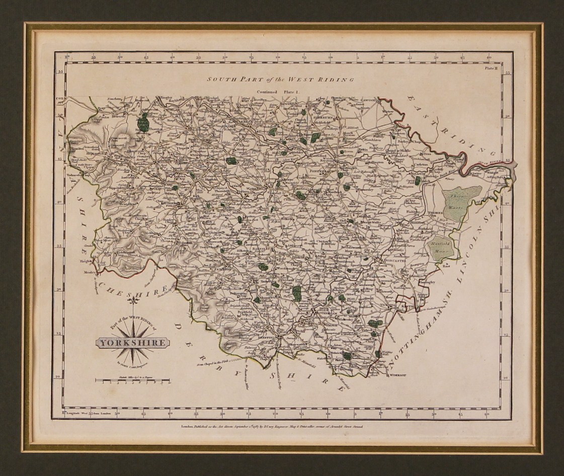
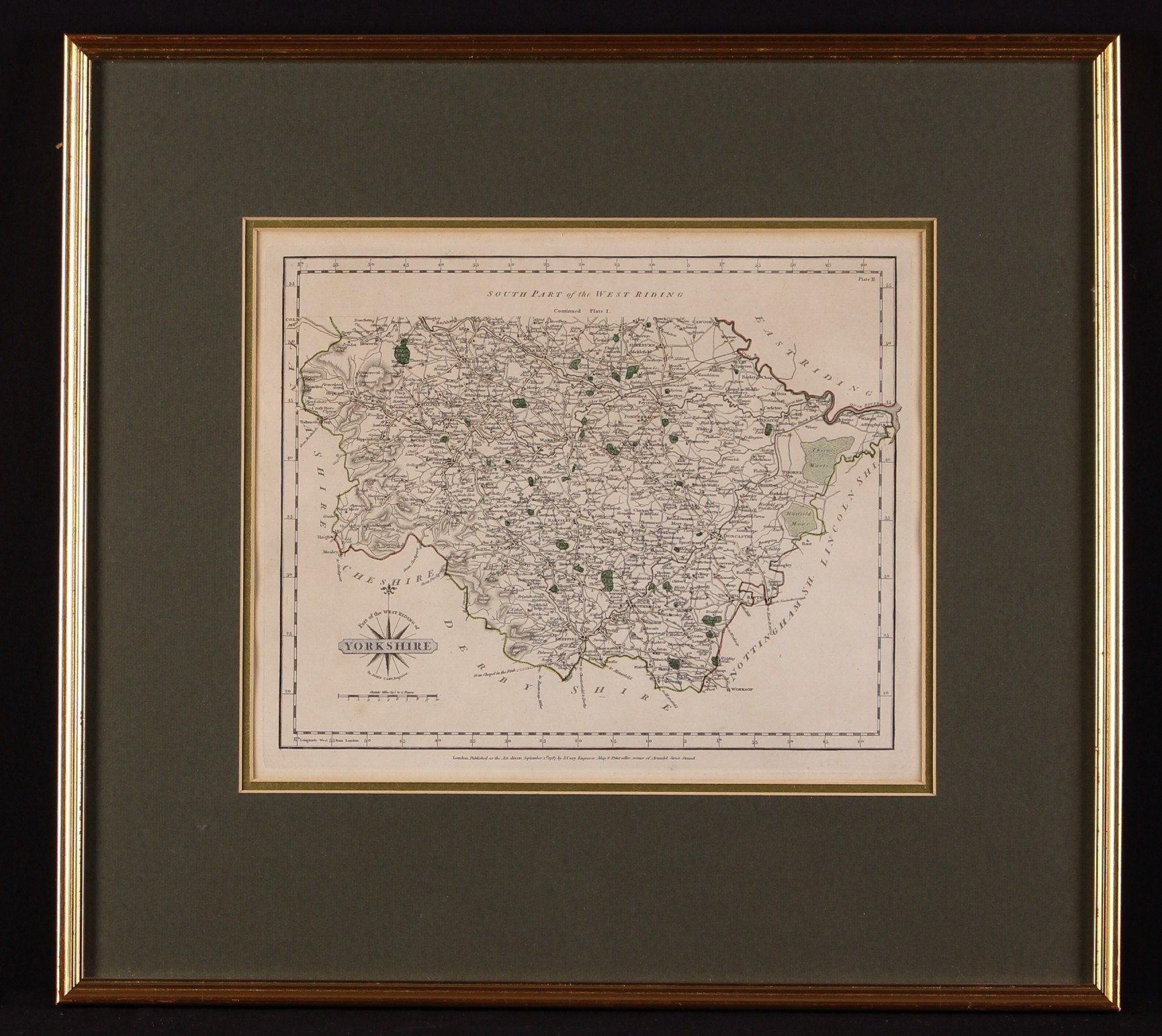
John Cary (C. 1754-1835). An 18th Century Map of South Part of the West Ridings of Yorkshire by John Cary, published London September 1st 1787, the print plate 9” x 11” (23 cm x 28 cm). Mounted and set in a modern glazed gilt frame, 16½” x 18” (42 cm x 46 cm).

Sold for: £45

Auction Expired because there were no bids

Or Bid Live through the following

This requires registration with the appropriate platform, they ask for basic details including a credit/debit card check to add you to their system (no monies are taken), then you log in with your details and bid live on the saleday.

Description

John Cary (C. 1754-1835). An 18th Century Map of South Part of the West Ridings of Yorkshire by John Cary, published London September 1st 1787, the print plate 9” x 11” (23 cm x 28 cm). Mounted and set in a modern glazed gilt frame, 16½” x 18” (42 cm x 46 cm).